I need to draw many geodesics on a sphere. Is it better to follow @jose
in his instructive response
to the post, Plot a partition of the sphere given vertices of polygons, using GeoPath & GeoGraphics?

Or just compute points along
the geodesic and use Line in Graphics3D? I know how to do the latter:
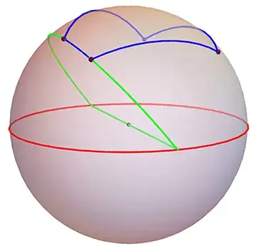
Image from a MathOverflow question.
I would like the ability to rotate the 3D object with the mouse, which seems not possible with
GeoGraphics? But it seems so inefficient to represent geodesics
by lists of 3D points when there is a GeoPath primitive.
Answered by J.M.'s link to his BSplineCurve arcs code:
